Ranger 2.0: How Drones Are Changing Patrols in Africa
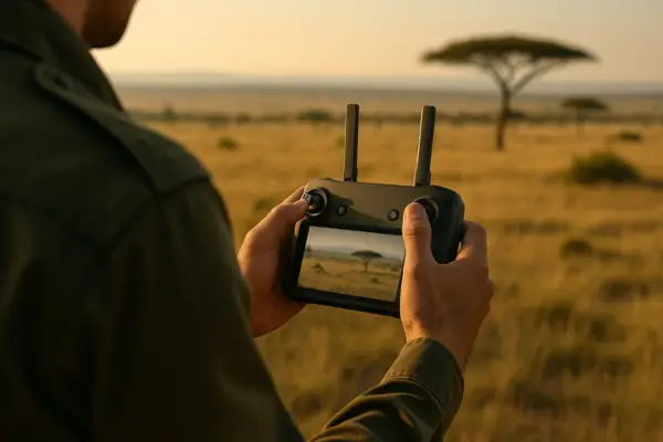
Joseph, a park ranger deep in the heart of Garamba National Park in the Democratic Republic of Congo, knows that […]
Joseph, a park ranger deep in the heart of Garamba National Park in the Democratic Republic of Congo, knows that […]